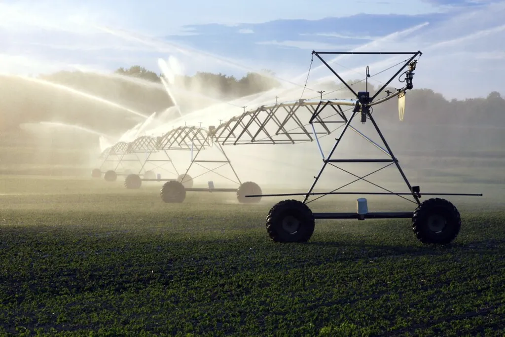
In the heart of the American Midwest, where vast expanses of cropland stretch out under the watchful eyes of center-pivot irrigation systems, a new tool is emerging to help farmers and water managers make every drop count. This tool, developed by a team of researchers led by Jingwen Zhang from the School of Civil Engineering at Sun Yat-sen University in Zhuhai, China, combines satellite data and advanced modeling to provide daily, field-scale estimates of irrigation water use. The research was recently published in the journal ‘Water Resources Research’, which in English translates to ‘Water Resources Research’.
At the core of this innovation is a model-data fusion framework that assimilates satellite-based evapotranspiration (ET) observations into an advanced agroecosystem model called ecosys. “We’re essentially merging the best of both worlds,” Zhang explains. “Satellites give us a bird’s-eye view of what’s happening on the ground, while our model helps us understand the complex processes driving water use in these agroecosystems.”
The team’s approach uses particle filtering with two configurations—concurrent and sequential—to integrate the satellite data with the model. This allows them to estimate irrigation water use at a much higher spatial and temporal resolution than previously possible. “This is a significant step forward,” says Zhang. “Current methods often provide estimates that are too coarse to be useful for managing water at the field scale or for understanding the intricacies of the water cycle in irrigated croplands.”
To test their framework, the researchers conducted experiments using both synthetic and real ET observations. The synthetic data helped them understand how different types of uncertainties—such as bias and noise—affect the performance of their estimates. They found that noise had a larger impact on degrading the estimation performance than bias, a crucial insight for future improvements.
When they applied their framework to real-world data from irrigated fields in eastern and western Nebraska, the results were promising. Monthly and annual estimates of irrigation water use matched well with farmer records, with Pearson correlation coefficients around 0.80 and 0.50, respectively. While detecting daily irrigation events proved more challenging, the method still performed reasonably well, with a root mean square error (RMSE) of around 2.90 mm/day, a bias of 0.03 mm/day, and a correlation coefficient of 0.4 mm/day.
The implications of this research are far-reaching, particularly for the energy sector, which is increasingly intertwined with water management. “Water and energy are deeply connected,” Zhang notes. “By improving our understanding of irrigation water use, we can also optimize the energy inputs required for pumping and distributing that water. This could lead to significant savings and more sustainable practices.”
Moreover, this research could pave the way for better regional water management and more sustainable irrigation practices. “Accurate, high-resolution estimates of irrigation water use can help farmers make informed decisions about when and how much to irrigate,” Zhang says. “This can lead to more efficient water use, reduced costs, and improved crop yields.”
As the world grapples with the challenges of climate change and growing water scarcity, tools like this one will be invaluable. By providing a clearer picture of water use in irrigated croplands, this research could help shape the future of water management, not just in the American Midwest, but around the globe. And as Zhang and her team continue to refine their approach, the possibilities for innovation and impact only grow.