
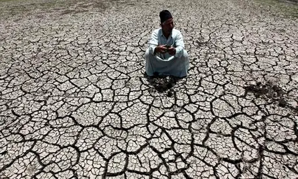
In the highlands of Southern Ethiopia, where the Takacha watershed stretches across rolling terrain, soil erosion isn’t just an environmental issue—it’s a silent economic disruptor. For farmers, energy planners, and infrastructure developers, the steady loss of fertile topsoil threatens agricultural output, destabilizes slopes that could affect hydropower dams, and increases sedimentation in rivers that power turbines downstream. Now, a new study led by Mesfin Merkine Mekuria of the Ethiopian Space Science & Geoinstitute offers a clearer picture of where the land is most vulnerable—and where intervention could yield the highest returns.
Using the Revised Universal Soil Loss Equation (RUSLE) integrated with Geographic Information Systems (GIS), the research team mapped erosion risk across the watershed with unprecedented detail. By combining satellite imagery, long-term rainfall records, and field observations, they calculated that the average annual soil loss is 31.5 tons per hectare—enough to fill thousands of dump trucks each year. But the real story lies in the distribution: while 65% of the area faces moderate erosion, nearly 14% is classified as high or very high risk, concentrated in steep or poorly vegetated zones.
“These aren’t just numbers—they’re warnings,” says Mekuria. “Where erosion is severe, we’re seeing reduced crop yields and increased landslide risks near waterways. For energy infrastructure, that means higher maintenance costs for dams and irrigation systems due to sediment buildup.”
The study’s findings come at a critical time. Ethiopia’s energy sector is rapidly expanding, with hydropower and agricultural irrigation forming the backbone of its renewable energy strategy. Yet, as Mekuria points out, “Sediment loads in rivers don’t just reduce power generation—they shorten the lifespan of turbines and increase dredging costs.” Targeted soil conservation measures, such as terracing or agroforestry, could protect not only farmland but also the long-term viability of energy projects.
The research, published in *Discover Environment*, also translates the watershed’s name—*Takacha* means “place of erosion” in the local language—a subtle reminder of how deeply this issue is embedded in the landscape.
What makes this study particularly valuable is its precision. By identifying erosion hotspots, policymakers and investors can prioritize conservation efforts where they’ll have the greatest impact. For the energy sector, that could mean co-investing in upstream soil stabilization to safeguard downstream power generation. It’s a reminder that in sustainable development, the health of the land and the health of the economy are inseparable.