
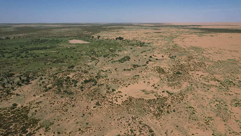
China’s soil and water conservation sector is quietly undergoing a digital revolution, one that could ripple across energy projects, mining operations and rural infrastructure alike. According to Shi Ming-chang, lead author of a new study in *Shuitu baochi yanjiu* (Journal of Soil and Water Conservation, translated), the integration of automation, wireless networks and geospatial tools is shifting conservation from manual labor to machine-driven precision.
“What we’re seeing isn’t just better data—it’s a total rethink of how land, water and development decisions interact,” Shi said. His team describes a nationwide monitoring and management network that stitches together real-time sensors, satellite feeds and automated control systems into a single spatial information platform. For energy developers, this means fewer environmental delays, lower compliance risks and clearer ROI on land restoration after drilling, construction or mining.
The paper highlights how these technologies are already streamlining key phases of conservation work. During planning and design, computer-aided tools use LiDAR and satellite imagery to model erosion risks before a single shovel hits the ground. On active sites, wireless sensor networks track soil moisture and runoff 24/7, triggering automated drainage controls to prevent contamination. Supervisors access dashboards that flag anomalies in real time, while drones equipped with multispectral cameras survey large areas in hours—work that once took weeks.
For energy firms operating in China’s ecologically sensitive regions, the implications are immediate. Projects in the Loess Plateau or along the Yangtze River basin could face stricter oversight, but Shi argues that early adoption of these systems can turn compliance into a competitive edge. “Companies that embed these tools into their environmental management can move faster, document their efforts more credibly, and ultimately reduce the cost of land remediation,” he notes.
The research suggests that within five years, spatial information systems could become a standard requirement for major infrastructure approvals—similar to how environmental impact statements evolved from paper exercises to dynamic, data-rich assessments. As automation lowers the cost of continuous monitoring, even smaller operators may find it cheaper to comply than to risk fines or shutdowns.
Published in *Shuitu baochi yanjiu*, the study frames soil and water conservation not as a regulatory burden, but as a data-driven discipline with direct ties to operational efficiency. For energy executives watching China’s push for greener growth, the message is clear: the future of land stewardship isn’t just in the field—it’s in the cloud.