
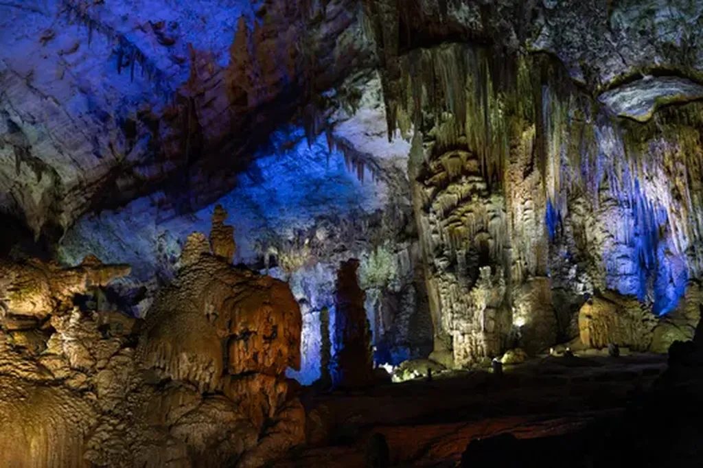
In the rugged, limestone-dominated landscapes of Guizhou Province, water doesn’t just flow—it disappears. For farmers, water managers, and energy producers, that disappearance has long been a mystery wrapped in karst topography. But a new study led by researcher Tian Lei is shedding light on how much water is lost to the atmosphere each spring through evapotranspiration, using tools that reach far beyond the ground: satellites and geographic information systems.
Tian Lei’s team combined satellite data from NASA’s MODIS instrument with local climate observations to estimate evapotranspiration across Guizhou’s karst terrain during the spring months. Karst landscapes, known for their caves and sinkholes, are notoriously difficult to monitor because water doesn’t sit on the surface—it drains quickly underground. That makes traditional irrigation and water balance models less reliable.
“In a region like Guizhou, where water resources are both precious and patchy, understanding how much water is lost to the air is critical,” Tian said. “We’re not just measuring evaporation from lakes or soil moisture—we’re capturing the full breath of the landscape, from soil to plant leaves, across thousands of square kilometers.”
The study used the Penman-Monteith model, a standard in hydrology, but with a twist: it inverted remote sensing data to derive key inputs like vegetation cover, surface temperature, and albedo—factors that drive evapotranspiration but are hard to measure on the ground in such complex terrain.
The results reveal not just how much water is being lost, but where and why. In a province where hydroelectric dams and agricultural irrigation depend on seasonal water availability, such insights could help optimize water use and improve drought resilience.
“If we can predict spring evapotranspiration more accurately, we can better plan water releases from reservoirs before the dry season hits,” Tian explained. “That has direct implications for energy generation, especially in a province where hydropower accounts for over 50% of electricity production.”
The research, published in *Shuitu Baochi Yanjiu* (translated as *Soil and Water Conservation Research*), marks a step forward in applying big-data remote sensing to water management in karst regions. As climate change intensifies seasonal variability, tools that can quantify water loss at scale—without needing boots on the ground—could become indispensable.
For energy planners and agricultural investors in southwest China, the implications are clear: the sky isn’t just a ceiling—it’s a data source. And in Guizhou, where water shapes both the land and the grid, measuring what rises may be just as important as measuring what flows.