
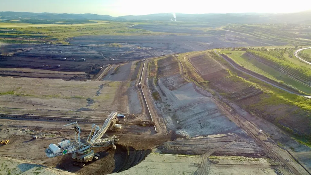
The Dongshen Water Supply Project, a critical infrastructure initiative, faced an unexpected challenge: managing massive soil disruption across varied terrains. With earthworks reshaping hillsides and valleys at an unprecedented scale, traditional erosion monitoring methods proved inadequate. Enter WANG Ji-zeng, whose team at an unspecified affiliation tackled this problem head-on, developing a multi-method approach that could adapt to the project’s dynamic conditions.
The project’s scale was daunting—entire landscapes were being overturned, with soil displacement measured in the millions of cubic meters. Conventional erosion gauges simply couldn’t keep pace with such rapid, large-scale changes. “We needed a system that wasn’t just accurate but also flexible enough to handle the chaos of a construction site in motion,” WANG explained. The solution? A hybrid monitoring framework combining surveyor’s poles, runoff plots, erosion gully measurements, and even controlled rainfall simulations.
Surveyor’s poles provided real-time tracking of soil displacement, while runoff plots captured water flow patterns across disturbed areas. For deeper erosion channels, gully measurements offered precise volumetric data, and artificially simulated rainfall allowed controlled testing of erosion resistance in different soil types. The result? A robust, multi-layered dataset that not only tracked erosion in real time but also validated its own accuracy.
For the energy sector, where large-scale infrastructure projects often intersect with fragile ecosystems, this methodology could be a game-changer. Mining, pipeline construction, and renewable energy installations frequently grapple with soil erosion risks that can delay projects, incur regulatory penalties, or even trigger environmental lawsuits. WANG’s approach offers a way to preemptively address these issues, ensuring compliance while minimizing costly disruptions.
Published in *Soil and Water Conservation Research* (translated from *Shuitu baochi yanjiu*), this study doesn’t just solve a problem for one project—it provides a blueprint for future construction efforts. By tailoring monitoring methods to specific soil disturbances, engineers and environmental managers can now anticipate erosion risks before they escalate, saving time, money, and ecological damage.
The implications are clear: as infrastructure projects grow in scale and complexity, so too must our tools for managing their environmental footprint. WANG’s work suggests that the future of erosion monitoring lies not in a single method but in a dynamic, adaptable system—one that can evolve as quickly as the landscapes it seeks to protect.