
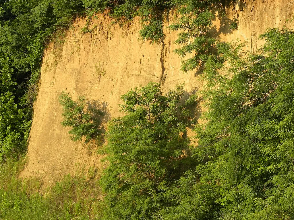
In the arid stretches of China’s Loess Plateau, where water is both a scarce resource and a critical factor for agricultural productivity, a team of researchers led by Li Yushan, Han Shifeng, and Wang Zhenghua has uncovered key insights into how soil texture influences water retention—a discovery that could reshape water management strategies not just in agriculture, but across the broader energy and environmental sectors.
Their study, published in *Shuitu baochi yanjiu* (translated as *Soil and Water Conservation Research*), reveals that the physical composition of soil—its texture—plays a dominant role in determining how much water is held, how it moves, and how much is lost through evaporation. The researchers mapped five distinct soil texture belts across the plateau and found that field capacity (the maximum amount of water soil can hold) hovers around 20%, with variations depending on whether the soil is light, medium, or heavy in texture. Yet, within loamy soils—a common type in the region—the relationship between texture and water retention isn’t always straightforward.
“What surprised us was how little variation we saw in field capacity across different loam textures,” said Li Yushan. “That tells us texture alone isn’t the full story—we need to consider other factors like organic matter and subsoil structure.”
The implications stretch beyond farming. For energy projects—especially those reliant on groundwater, such as geothermal systems or large-scale solar farms with cooling needs—understanding soil water behavior can inform site selection, reduce water extraction costs, and improve sustainability. Heavy loam soils, for instance, retain significantly more water below the surface, offering a buffer during droughts. In contrast, lighter soils lose up to 35% of their stored water in the root zone through evaporation, a critical factor for irrigation-dependent energy infrastructure.
The research also maps the depth of soil affected by evaporation—reaching 2 to 3 meters deep—and provides empirical equations for water retention curves across different soil types. These tools could help engineers and agronomists design more resilient systems, from drought-resistant crops to water-efficient cooling systems in energy plants.
As climate variability increases, such data becomes more than academic—it becomes strategic. The Loess Plateau, already a region of intense agricultural and ecological focus, may now also serve as a model for integrating soil hydrology into energy and water resource planning.
For industries looking to reduce water use and enhance sustainability, the findings underscore a simple truth: the ground beneath our feet holds answers—if we know how to read it.