
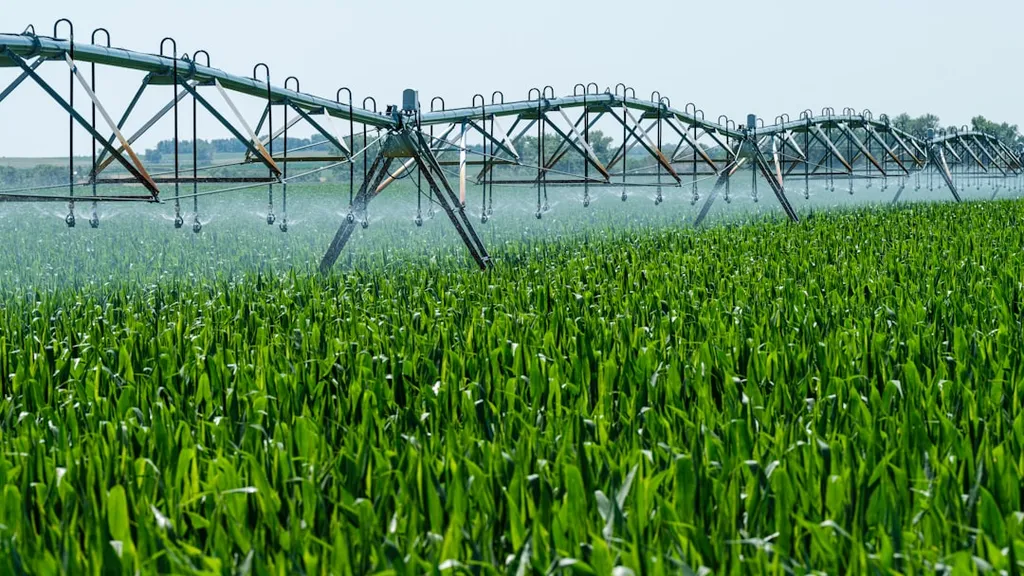
Remote sensing technology is quietly revolutionizing how we manage irrigation districts, offering a bird’s-eye view that could save billions in water and energy costs. According to lead author XU Mei, whose affiliation is currently unspecified, the technology’s application spans three critical areas: land and water background analysis, crop monitoring, and water balance estimation. Each of these functions isn’t just academic—it has real-world implications for farmers, utilities, and energy producers.
The first area—land and water background analysis—is foundational. By using satellite imagery, irrigation districts can track land-use changes, water distribution, and even ecosystem health over time. This isn’t just about knowing where water is; it’s about understanding how land and water interact, which can help prevent waste and inefficiency. For example, detecting unauthorized water diversions or identifying areas where soil degradation is occurring can lead to targeted interventions before problems escalate.
Crop monitoring is where the rubber meets the road for many stakeholders. Remote sensing allows for precise mapping of crop types and areas, as well as real-time monitoring of crop growth and stress. This kind of data is invaluable for predicting yields and identifying potential disasters like drought or pest infestations before they cause significant damage. For energy companies, this translates into more accurate forecasting of biofuel feedstock availability or biomass energy inputs, which can stabilize supply chains and reduce operational risks.
The third area—water balance estimation—is perhaps the most commercially impactful. By measuring evapotranspiration, precipitation, and soil moisture, remote sensing helps irrigation districts calculate crop water requirements with unprecedented accuracy. This data can then inform water allocation decisions, ensuring that resources are used efficiently and sustainably. For energy producers, particularly those involved in hydropower or thermoelectric cooling, this means better water management strategies that can reduce costs and improve reliability. Imagine being able to predict water availability months in advance and adjust energy production schedules accordingly—this is the kind of foresight that can drive significant financial and operational benefits.
The research, published in *Soil and Water Conservation Research* (the English translation of *Shuitu baochi yanjiu*), underscores how remote sensing is evolving from a niche tool to a cornerstone of modern irrigation management. As these technologies become more integrated into decision-making processes, the potential for cost savings, energy efficiency, and sustainable resource management grows. For industries reliant on water and energy, staying ahead of these advancements isn’t just an option—it’s a necessity.