
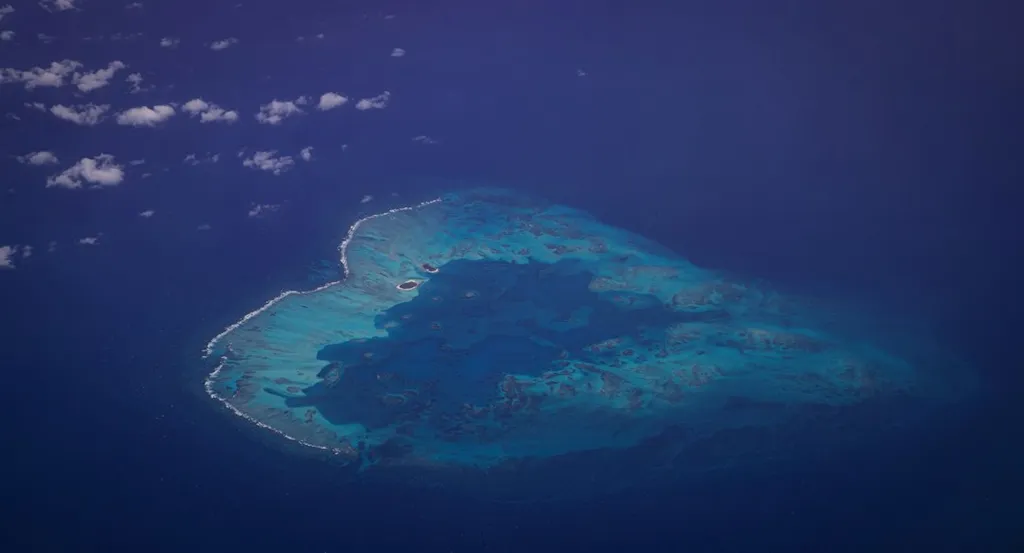
Daning Li and his team at the South China Sea Institute of Oceanology, Chinese Academy of Sciences, have cracked a critical challenge in water resource management for coral islands—a place where freshwater is as scarce as it is vital. Their groundbreaking study, published in *Journal of Hydrology and Geology Engineering* (*Shuiwen dizhi gongcheng dizhi*), reveals how advanced modeling can predict groundwater levels on these fragile ecosystems, offering a lifeline for sustainable development in remote island communities.
Groundwater is the only natural freshwater source on coral islands, yet monitoring it has long been a puzzle. Li explains, “We’re working in places where data is scarce, where every drop counts, and where the wrong prediction can mean the difference between water security and crisis.” Between November 2021 and August 2024, the team collected continuous groundwater level data from a typical coral island in the South China Sea. What they found was a dynamic system shaped by multiple forces: seasonal rainfall, tidal cycles, and even sudden, high-frequency pulses—like hidden rhythms beneath the surface.
Using a hybrid model that combines wavelet analysis with a long short-term memory (LSTM) neural network, the researchers were able to decode these complex patterns. “The beauty of this approach,” says Li, “is that it doesn’t just predict—it learns. It adapts to the pulse of the island’s hydrology, whether that’s the slow creep of monsoon rains or the twice-daily tug of the tides.” The model achieved high accuracy and, crucially, proved transferable to other coral islands with similar conditions.
For energy and infrastructure developers eyeing coral islands for renewable energy projects, desalination plants, or coastal resorts, this research is a game-changer. Accurate groundwater forecasting means smarter siting of wells, reduced risk of saltwater intrusion, and more resilient water supply chains—all critical for projects where water is both a resource and a constraint. As climate change intensifies pressure on freshwater systems, tools like this could mean the difference between a stranded project and a sustainable operation.
The study’s implications stretch beyond individual islands. “If we can model groundwater dynamics in places where data is sparse,” Li notes, “we can scale this approach across entire regions.” That’s not just good science—it’s a blueprint for responsible development in some of the world’s most vulnerable coastal zones.
With this work, the team has not only advanced hydrological science but also given island nations and investors a new way to safeguard water—before it’s too late.