
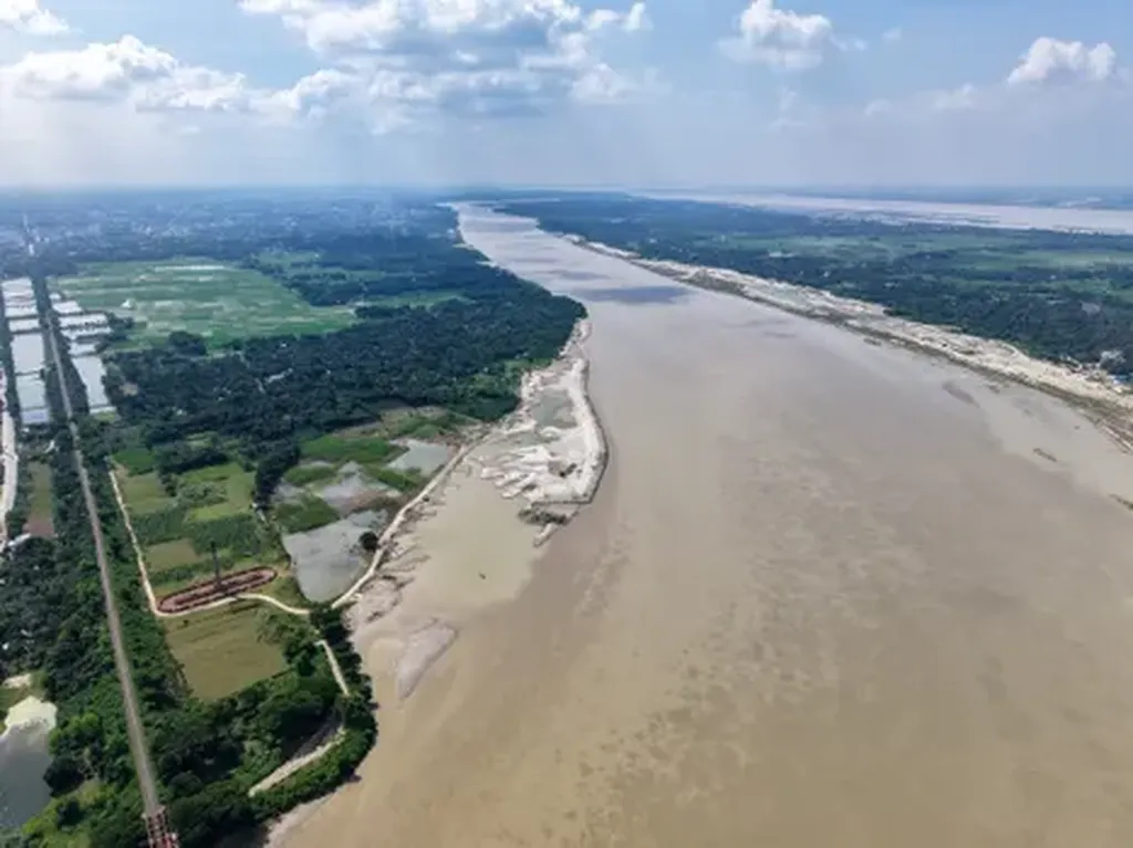
In the heart of Bangladesh, where monsoon rains carve life into the land but also strain its finite groundwater reserves, a new study offers a lifeline for planners and industry alike. Researchers led by Md Eftekharul Alam from the Department of Environmental Science and Engineering at Jatiya Kabi Kazi Nazrul Islam University in Mymensingh have mapped Chuadanga Sadar’s groundwater potential with unprecedented precision—using a blend of geospatial science and decision-making rigor.
The team didn’t just overlay maps; they layered meaning. Six key factors—slope, rainfall, drainage density, lineament density, elevation, and land use—were distilled into a weighted model using the Analytical Hierarchy Process (AHP), a structured technique for organizing complex decisions. “AHP allowed us to translate expert judgment into transparent, reproducible weights,” Alam explains. “It’s not just about data—it’s about how much each factor truly matters in the real world.”
Using GIS and satellite-derived inputs, the researchers generated a groundwater potential index. The resulting map reveals a striking pattern: nearly two-thirds of Chuadanga Sadar—189.29 km²—lies in “good” to “excellent” zones, concentrated in the southeast and southwest. Only 0.12% of the area is classified as poor, highlighting where development risks are lowest. This spatial clarity is more than academic—it’s a strategic asset.
For energy companies eyeing water-intensive operations or renewable energy projects in the region, such data is transformative. Groundwater reliability informs drilling feasibility, reduces exploration costs, and mitigates regulatory risk. “Knowing where to drill—and where not to—can shave months off project timelines,” says Alam. “In a water-stressed region, that’s not just efficient—it’s essential.”
Published in *Cleaner Water*, the study—titled in Bengali as *“Poribesh Shudhu Poribesh Noi: Chuadanga Sadar-er Bhumidhara Onushandhan”* (“Cleaner Water Is More Than Clean Water: Groundwater Exploration in Chuadanga Sadar”)—demonstrates how geospatial intelligence is reshaping resource management. By integrating AHP with GIS, the methodology transcends local boundaries, offering a replicable blueprint for aquifer assessment worldwide.
As Bangladesh accelerates industrialization and adapts to climate variability, tools like these will determine whether development outpaces depletion—or whether innovation outpaces crisis. For energy firms, urban planners, and policymakers, the message is clear: the future of water is not just underfoot—it’s waiting to be mapped.