
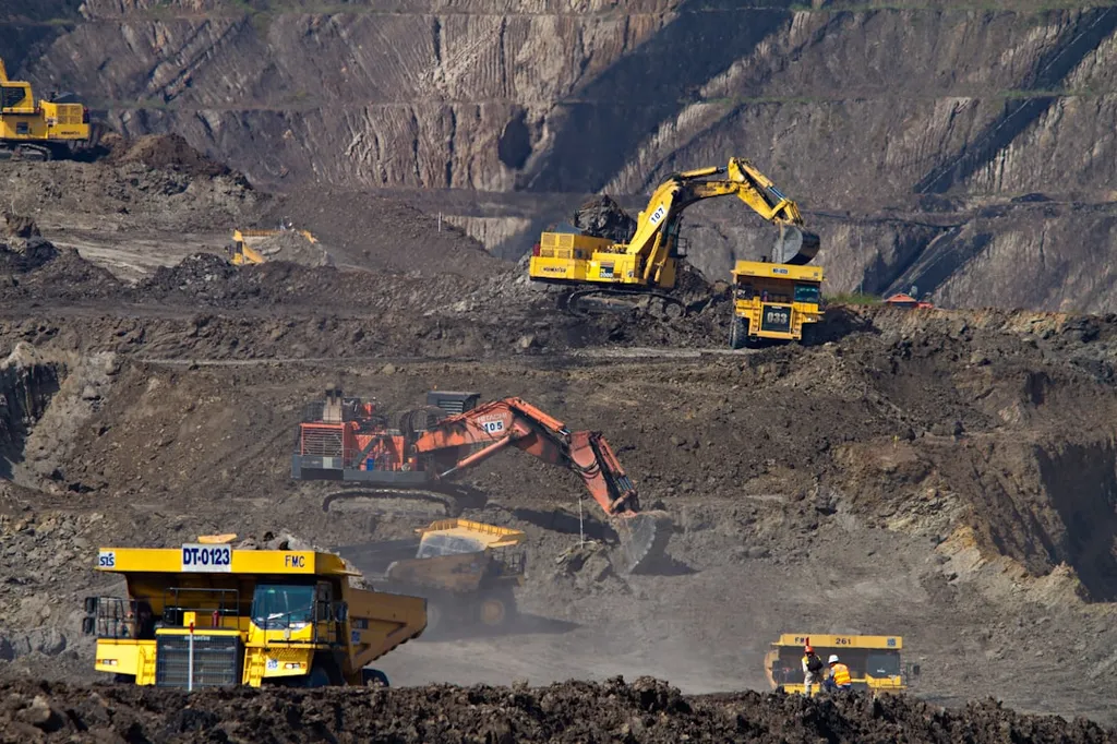
The Andriikovetskyi quarry-dump complex in Ukraine stands as a stark reminder of how mineral extraction can reshape landscapes—often leaving behind scars that linger long after the last truck hauls away its load. For companies in the energy and mining sectors, these disturbed areas represent more than just environmental challenges; they translate into regulatory risks, reputational costs, and missed opportunities for land restoration and secondary use. A recent study published in *Biological Systems: Theory and Innovation* by lead author A. Mahdiichuk offers a practical way forward, using remote sensing to turn uncertainty into actionable insight.
Mahdiichuk’s team turned to satellite data and the Normalised Difference Vegetation Index (NDVI) to assess vegetation recovery across the quarry-dump complex—without setting foot on site. “We needed a way to see the whole picture,” Mahdiichuk explains, “especially when field access is limited or when monitoring dozens of sites across vast areas.” NDVI, derived from multispectral satellite imagery, acts like a biological thermometer: higher values mean denser, healthier plant life; lower values signal bare ground or stressed ecosystems.
The findings were telling. Over several years, the team observed fluctuating NDVI values, with the lowest readings in 2019 and 2022—years marked by drought and minimal reclamation effort. But between 2020–2021 and 2023–2024, biomass productivity increased. Dense and moderate vegetation expanded, though unevenly. “Some areas remained stubbornly bare,” Mahdiichuk notes, “while others began to green up—proof that nature doesn’t recover uniformly.”
Why the patchiness? The study points to a mix of natural and human-made factors: uneven terrain, sandy soils with poor water retention, and ongoing erosion from wind and water. Without intervention, these zones can become ecological dead zones—or worse, sources of dust and runoff that affect nearby communities and water systems.
For energy and mining companies, the implications are clear. Post-mining land restoration isn’t just an environmental obligation—it’s a strategic investment. Monitoring vegetation recovery using remote sensing allows operators to identify problem areas early, allocate reclamation resources efficiently, and demonstrate compliance with environmental, social, and governance (ESG) standards. In an era where investors and regulators increasingly demand proof of sustainable land management, tools like NDVI-based monitoring offer a data-driven path to meeting those expectations.
As Mahdiichuk’s research suggests, the future of post-mining recovery may lie not in costly, one-size-fits-all revegetation programs, but in targeted interventions guided by real-time ecological data. By integrating remote sensing into their environmental management plans, companies can not only restore biodiversity but also unlock new value—whether through ecological tourism, carbon sequestration, or repurposing land for renewable energy projects.
Published in *Biological Systems: Theory and Innovation* (Ukrainian: *Біологічні системи: теорія та інновації*), this study doesn’t just document the past—it charts a course for smarter, more resilient land stewardship in the extractive industries. And in a world where every acre counts, that’s a competitive advantage worth investing in.