
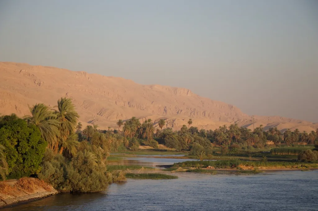
In the arid landscapes of Sudan and Egypt, where the Nile’s lifeblood sustains millions, a hidden battle rages beneath the surface—one of shifting sands and silt, reshaping the very foundations of one of Africa’s most critical waterways. A groundbreaking study by Mohammed Elsahabi, a researcher at the Civil Engineering Department of Aswan University, has peeled back the layers of this underwater world, revealing how the Grand Ethiopian Renaissance Dam (GERD) is already altering the sediment dynamics of Lake Nubia, the Sudanese stretch of the Aswan High Dam Lake (AHDL).
Elsahabi’s research, published in the *Aswan University Journal of Environmental Studies* (or *Majalat Aswan University lil-Dirasaat al-Bi’iyya*), employs a fusion of remote sensing (RS), Geographic Information Systems (GIS), and advanced 3D modeling to map the unseen shifts in the lake’s bed. By comparing Landsat satellite imagery with hydrographic survey data, his team reconstructed the lake’s topography at three points between 2000 and 2012, quantifying erosion and sedimentation with unprecedented precision. The results? A stark reminder of how hydrology dictates the fate of reservoirs.
“Sedimentation dominated during high-inflow years, while erosion took over when water levels dropped,” Elsahabi explains. “It’s a dance between water and sediment, choreographed by the river’s own rhythm.” This interplay isn’t just academic—it has real-world consequences. When erosion outpaces deposition, storage capacity increases, offering a temporary buffer against water scarcity. But when sediment wins, capacity dwindles, threatening both energy generation and irrigation.
The commercial stakes are immense. The Aswan High Dam, a linchpin of Egypt’s energy grid, relies on consistent water flow to power its turbines. Sedimentation doesn’t just reduce storage; it can clog intakes, damage turbines, and force costly dredging operations. Elsahabi’s study found that traditional cross-sectional surveys—long the standard for sediment monitoring—underestimated sediment volumes by 4%, a margin that could translate into millions in avoidable expenses or lost revenue.
What makes this research particularly compelling is its timing. With the GERD now operational upstream, the Nile’s sediment load is poised for disruption. Sediment-starved water released from the dam could accelerate erosion downstream, while trapped sediments in the GERD’s reservoir may reduce the Nile’s natural replenishment of the AHDL. Elsahabi’s methods offer a way to anticipate these changes, allowing engineers and policymakers to adjust operations before crises strike.
For energy planners, the implications are clear: investing in RS/GIS-driven sediment monitoring isn’t just about better science—it’s about securing a stable power supply. As climate variability and upstream dams reshape the Nile’s flow, the ability to predict and mitigate sedimentation could mean the difference between a resilient grid and costly disruptions. Elsahabi’s work isn’t just a case study; it’s a blueprint for the future of transboundary water management.