Nepal’s Budhi Gandaki Basin is a vital lifeline for millions, feeding irrigation systems and filling reservoirs that power the nation’s growing hydropower ambitions. Yet beneath its snow-fed rivers and terraced hillsides lies a quiet crisis: sediment. Every year, erosion washes millions of tonnes of soil into the basin’s waterways, clogging reservoirs, shortening dam lifespans, and threatening the very infrastructure Nepal is banking on to meet its energy needs.
A new study published in *Discover Geoscience* by Pankaj Adhikari of Pokhara University’s Faculty of Science and Technology offers a first-of-its-kind glimpse into this hidden challenge. Using the Soil and Water Assessment Tool (SWAT), Adhikari and his team mapped sediment flows across 496,713 hectares of steep Himalayan terrain—dividing the basin into 25 sub-basins to capture the complex reality of erosion in one of the world’s most dynamic landscapes.
“In steep basins like this, sediment isn’t just a nuisance—it’s a financial and operational risk,” Adhikari explains. “Reservoirs lose storage capacity faster than planned, and turbines face abrasion from suspended particles. Understanding where erosion is worst is the first step toward smarter investment in watershed protection.”
The model, calibrated with 18 years of climate data and validated against streamflow and sediment records, performed strongly in predicting water flows but faced greater uncertainty in sediment simulation—a common challenge in high-altitude, tectonically active regions. Still, it delivered a clear signal: the basin yields an average of 313.89 tonnes of sediment per square kilometre each year, with hotspots producing over four times that amount.
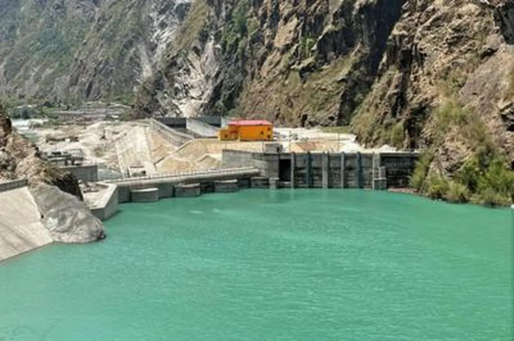
For Nepal’s hydropower developers, these findings carry real commercial weight. The Budhi Gandaki Hydropower Project, a proposed 1,200 MW dam, sits squarely in this basin. Sediment forecasts aren’t just academic—they determine reservoir siltation rates, maintenance budgets, and even the lifespan of turbines. Overestimating sediment yield could inflate project costs; underestimating it could lead to costly overruns down the line.
“This kind of modeling gives developers and policymakers a data-driven way to prioritize erosion control,” says Adhikari. “Whether it’s reforestation in critical zones, check dam construction, or revised sediment management plans, the goal is to protect both the river and the investment.”
While the SWAT model’s sediment predictions remain indicative rather than absolute, the study marks a crucial advance: the first application of SWAT specifically for sediment yield in the Budhi Gandaki Basin. It sets a benchmark for future assessments and could inform similar studies across Nepal’s Himalayan basins, where dozens of new hydropower projects are in the pipeline.
As climate change intensifies rainfall patterns and glacial melt accelerates erosion, the stakes are rising. Tools like SWAT don’t just quantify risk—they help turn uncertainty into actionable strategy. For a nation betting its energy future on water, that clarity may be just as valuable as the water itself.