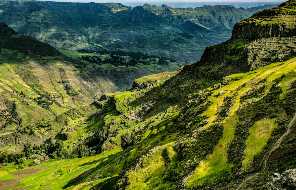
In the highlands of Ethiopia, where seasonal rivers vanish and rainfall is unpredictable, groundwater is more than just water—it’s a lifeline. For communities in the Gelda watershed, a region marked by volcanic terrain and limited surface water, the search for reliable underground sources has long been a challenge. Now, a new study led by Getachew Wubie Gella, from the Department of Water Supply and Sanitary Technology at the Federal Technical and Vocational Training Institute in Addis Ababa, offers a breakthrough: a scientifically robust way to pinpoint where to drill for groundwater with greater precision.
Using a blend of satellite data, geological maps, and a decision-making framework called the Analytic Hierarchy Process (AHP), Gella and his team mapped groundwater potential across the watershed. They layered in factors like rainfall patterns, slope, soil type, and the density of underground fractures—known as lineaments—each weighted based on its influence on water storage. The result? A five-tiered map showing zones of very low to very high groundwater potential.
What makes this study stand out isn’t just the map—it’s the validation. When the team compared their predictions to actual borehole and spring locations, 81% of high-yield water sources fell within the predicted high or very high zones. That level of accuracy is rare in data-scarce regions like the Ethiopian highlands.
“Groundwater exploration has always been a bit of a guessing game in places like this,” says Gella. “But by combining GIS, remote sensing, and AHP, we’re turning intuition into insight. This isn’t just about finding water—it’s about making every drop count for households, farms, and future generations.”
The commercial implications are significant. For energy companies operating in rural or off-grid regions, reliable groundwater access means more stable operations, lower fuel costs for water pumping, and reduced reliance on expensive surface water infrastructure. In areas where solar-powered boreholes are increasingly used to power small-scale irrigation or mini-grids, knowing where to drill can make or break a project’s feasibility.
Published in *Environmental Research Communications* (የአካባቢ ጥናት ሰጪ ሪፖርቶች in Amharic), this research isn’t just academic—it’s a toolkit. It shows how low-cost, high-impact science can guide real-world decisions, from siting boreholes to planning drought-resilient agriculture.
As climate variability increases and surface water becomes less dependable, methods like these could redefine how industries and communities secure their water future. The next step? Scaling this approach across similar volcanic highlands in East Africa—where the ground may hold the key to both survival and growth.
For energy firms eyeing rural electrification or agribusiness expansion, the message is clear: the best place to start might be looking down—way down.