The Danube River, Europe’s second-longest waterway, has long been a lifeline for trade, energy, and ecosystems. But beneath its surface, a quieter transformation is underway—one that could reshape how industries and governments manage water, energy, and flood risks. A new study published in the *Journal of Hydrology: Regional Studies* (Hungarian: *Vízügyi, Szennyvízi és Csatornázási Szaklap*) by Ahmed Mohsen of the Budapest University of Technology and Economics reveals how human interventions and natural forces are quietly altering the river’s connection with its floodplains, with implications that ripple far beyond Hungary’s borders.
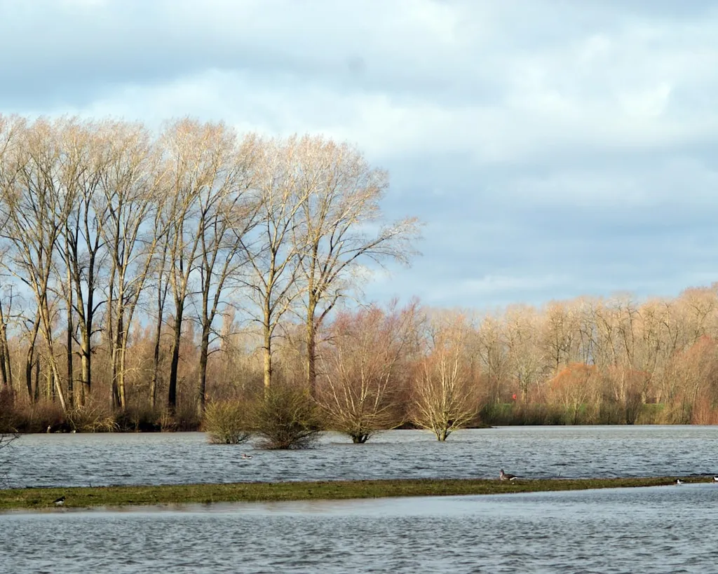
Mohsen’s research, conducted in collaboration with colleagues in Hungary and Egypt, focuses on a 273-kilometer stretch of the Danube, including the Gemenc floodplain—one of Europe’s largest and most ecologically vital wetland systems. Using satellite imagery from missions like Sentinel-2 and PlanetScope, combined with advanced graph theory modeling, the team developed a “hydrological connectivity index” (G) to quantify how water moves between the river and its surrounding floodplains. The results are striking: lateral connectivity—the lifeblood of floodplain ecosystems—has declined by about 24% since the late 19th century, primarily due to river regulation and channel deepening.
“This isn’t just an ecological concern,” Mohsen explains. “When floodplains disconnect from the main river, we lose natural buffers against floods, reduce groundwater recharge, and disrupt sediment transport—all of which have direct consequences for infrastructure, agriculture, and energy production.”
The study’s timing is particularly relevant. In September 2024, a major flood event tested the Danube’s resilience. Mohsen’s team found that connectivity surged non-linearly with rising water levels, activating floodplains only after certain discharge thresholds were crossed. This threshold behavior suggests that floodplain inundation isn’t gradual—it’s a switch-like process, turning on or off like a valve. For energy companies operating along the Danube, this has practical implications. Hydropower plants, cooling systems for thermal and nuclear facilities, and even river transport routes depend on predictable water levels and floodplain interactions.
“Energy infrastructure is designed with historical flood data in mind,” says Mohsen. “But if floodplains are disconnecting and floodwaves are becoming more abrupt, that old data may no longer reflect reality. Operators might need to revisit their risk models.”
The research also highlights the role of anthropogenic barriers—dams, levees, and dredged channels—that fragment the river’s natural flow. The upper Danube, heavily regulated for navigation and hydropower, shows the lowest connectivity, while the middle and lower reaches retain more dynamic interactions. This spatial variability could inform targeted restoration efforts, balancing ecological needs with economic demands.
For the energy sector, the study underscores the need for adaptive water management strategies. As climate change intensifies flood and drought cycles, understanding lateral connectivity could help utilities optimize hydroelectric output, protect cooling water intakes, and even enhance renewable energy integration by improving sediment and nutrient flows for aquatic ecosystems.
The work, published in *Journal of Hydrology: Regional Studies*, (Hungarian: *Vízügyi, Szennyvízi és Csatornázási Szaklap*), is a reminder that rivers are not static channels but living systems shaped by both nature and human intervention. For industries reliant on their rhythms, the message is clear: the past is no longer a reliable guide to the future. Adaptation starts with measurement—and Mohsen’s framework offers a way forward.