In the rugged highlands of Ethiopia’s Upper Tekeze Basin, where rainfall is as unpredictable as the terrain, a team of researchers has uncovered a path to resilience—one that could ripple across energy, agriculture, and rural development. Led by Demelash D. Abadefar of Woldia Institute of Technology, their study blends hydrological modeling with machine learning to map where rainwater harvesting (RWH) could transform water-scarce communities into thriving hubs of productivity.
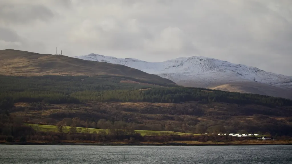
The Upper Tekeze Basin is no stranger to drought. With erratic rains, steep slopes, and limited surface water, farmers and energy planners alike face a mounting challenge: how to secure water for irrigation, livestock, and, increasingly, small-scale hydropower. But Abadefar and his team took a different route—not by building more dams, but by letting the land itself do the work.
Using the Soil and Water Assessment Tool (SWAT), they simulated runoff across the basin with impressive accuracy (R² = 0.77), revealing where water collects and flows. Then, they turned to Random Forest, a powerful machine learning model, to sift through terrain and hydrological data. The algorithm pinpointed slope, drainage density, and topographic wetness as the top three factors controlling water availability—no surprise in a region where ruggedness defines both challenge and opportunity.
“Topography isn’t just a barrier—it’s a blueprint,” Abadefar noted. “By understanding how water moves across the land, we can place rainwater harvesting structures where they’ll have the greatest impact.”
The results were striking. A fuzzy gamma overlay analysis—think of it as a smart GIS filter—revealed that 16.9% of the basin holds high or very high potential for RWH. That’s not just land; it’s potential energy. Small-scale hydropower projects, irrigation schemes, and even water-cooled mini-grids could flourish where water is now scarce.
Field validation confirmed the model’s accuracy, with existing RWH structures aligning closely with predicted zones. The model’s performance was robust (AUC = 0.91, accuracy = 81.4%), giving planners a reliable tool to prioritize investments.
For the energy sector, the implications are clear. In semi-arid regions like the Upper Tekeze Basin, water and power are two sides of the same coin. By integrating RWH into rural electrification plans, developers can reduce reliance on diesel generators and large dams—saving costs and ecosystems alike.
This isn’t just about water. It’s about enabling a decentralized, climate-resilient energy future. And as machine learning and hydrological modeling grow more sophisticated, studies like this one from Woldia University are showing how science can guide sustainable development—one watershed at a time.
Published in the *Journal of Hydrology: Regional Studies* (የአፍሪቃ ውሃ ጥናት ወረቀት), the research offers a replicable framework for other water-stressed regions, proving that sometimes, the most powerful solutions come not from grand infrastructure, but from smartly harnessing what nature already provides.